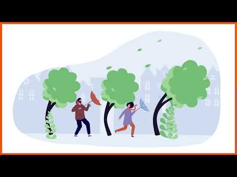
Risk of storms and high winds
Storms bring heavy rainfall, thunderstorms and strong winds that can exceed 89 km/h to Montpellier. The formation of tornadoes is also possible on the territory.
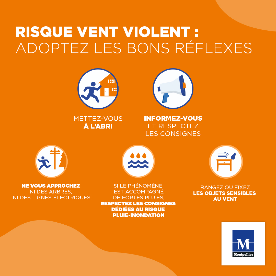
Adoptez les bons réflexes
Avant
- Informez-vous sur les risques, les consignes et les moyens d'alerte
- Prévoyez les équipements minimums (radio à piles, réserve d'eau potable, papiers personnels, médicaments, ...)
Pendant
- Rangez ou fixez les objets sensibles au vent.
- Ne vous approchez pas des arbres (parcs, cimetières) et des lignes à terre.
- Restez chez vous ou évitez tout déplacement.
- Si le phénomène est aussi accompagné de fortes pluies, consultez les consignes de la page risque pluie-inondation.
- Informez-vous de la situation et des consignes par la radio (France Bleu Hérault : 100.6 ou 101.1 FM)
En cas d'obligation de déplacement
- Soyez très prudents. Respectez, en particulier, les déviations mises en place.
- Ne vous engagez en aucun cas, à pied ou en voiture, sur une voie immergée.
- Signalez votre départ et votre destination à vos proches, pour protéger votre intégrité et votre environnement proche.
- Prévoyez des moyens d'éclairage de secours et faites une réserve d'eau potable.
- Facilitez le travail des sauveteurs qui vous proposent une évacuation et soyez attentifs à leurs conseils.
Après
- Alertez les autorités de tout danger (18 ou 112).
Concernant vos locaux
- Ne réintégrez votre domicile que si les conditions y sont favorables.
- Si vous sentez une odeur de gaz, sortez et prévenez ensuite les Sapeurs-Pompiers (18)
- Faites l'inventaire de vos dommages et préparez vos dossiers d'assurance
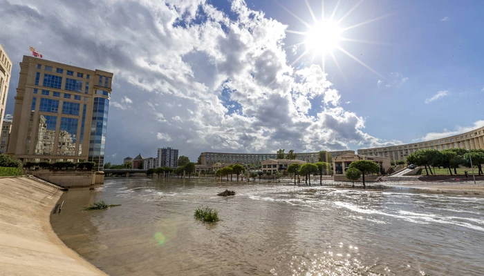
The risk of storms in Montpellier
Due to their multiple effects and the often extensive geographical areas affected, the consequences of storms are frequently significant for people, property and the environment:
- High rainfall expected with localized flooding disrupting activities
- Destruction or damage to buildings, transport infrastructure, networks (power and telephone cuts over a long period)
- Victims
- Falling trees...
Preventive and protective measures
Impotent in the face of the occurrence of the phenomenon, Man can prevent its effects through constructive measures and by informing the population.
Meteorological vigilance
A meteorological vigilance map is drawn up twice a day (6am and 4pm) to warn the population and public authorities of a risk of dangerous meteorological phenomena within the next 24 hours. The media relay the information as soon as the orange and red vigilance levels are reached.
In the event of orange and red vigilance, emergency numbers are activated 24 hours a day: 32 50 or 08 92 68 02 04